
TORNADIC ORBITAL TELEMETRY OBSERVATIONS
Using drones to contribute to the understanding of tornadoes
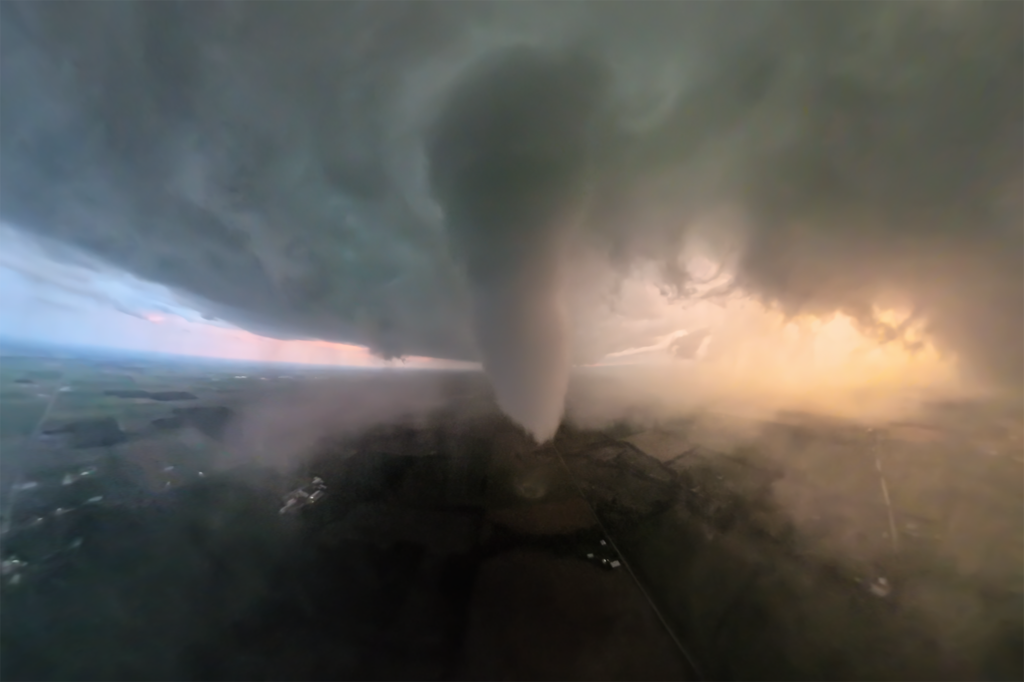
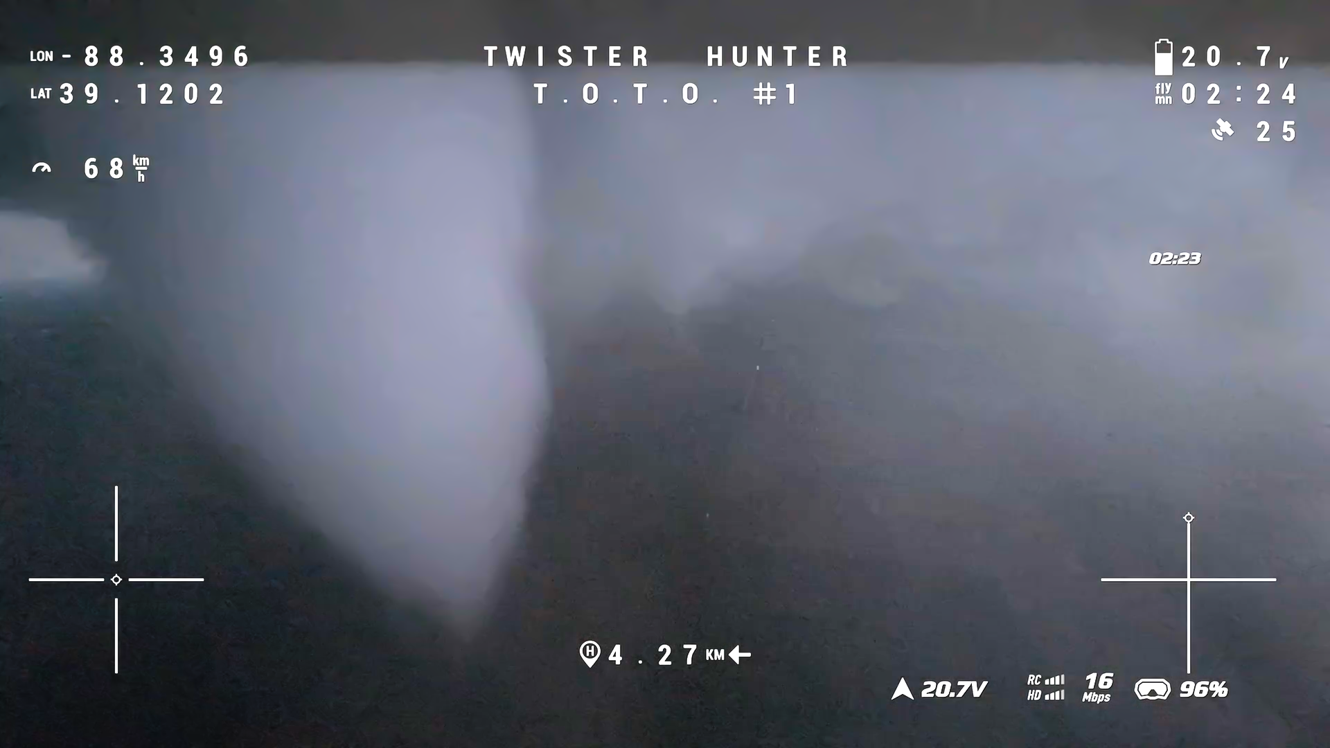
The purpose of Tornadic Orbital Telemetry Observations [T.O.T.O.] is to record groundbreaking data in and around tornadoes by utilizing specially built and tuned experimental long-range drones equipped with TPRH (temperature, pressure, relative humidity) logging data sensors, precise GPS, 360 cameras to map the environment and dynamics of this deadly phenomenon.
Data from this project has to potential to improve three-dimensional simulations, increase reliability or prediction models, help build better structures to withstand tornadic winds, and increase lead time/accuracy of tornado warnings. Our understanding of tornadoes is still in its infancy. UASs give us a new ability to see tornadoes like never before.
Why this is valuable
We still don’t know what triggers tornadoes to form. We don’t know why storms in identical environments produce and fail to produce tornadoes. Around 70% of tornado warnings in the US are false alarms.
This project is fully funded by Twister Hunter Tours. By joining a tour or shopping on this website, you are contributing to this research project.
Tornadoes Observed by UAS
April 24, 2025 Silverton, Texas EFU
April 25, 2025 Littlefield, Texas EFU
May 16, 2025 Sikeston, Missouri EF3
June 20, 2025 Enderlin, North Dakota EF5
June 27, 2025 Center, North Dakota EFU
June 28, 2025 Gary, South Dakota EF3
April 13, 2026 Truman, Minnesota EF1
April 14, 2026 Wyoming, Iowa EFU
April 23, 2026 Braman, Oklahoma EF1
June 16, 2026 Unionville, Missouri EF2
June 17, 2026 Effingham, Illinois EF3
World’s First 360 Orbital Intercept of a Strong Tornado
June 17, 2026 - Effingham, Illinois
The Twister Hunter team deployed a research UAV on an intense tornado near Effingham, Illinois. Equipped with a temperature, pressure, relative humidity sensor the drone reached speeds of 272kmh (171mph) as it orbited the outer circulation of the tornado. This is the first time in history a drone was flown fully around a tornado capturing it from all angles.
Unbelievable Shapeshifting Tornado
June 28, 2025 - Gary, South Dakota
One of the most visually stunning tornadoes ever witnessed. We were able to launch the drone very early in the tornado’s lifecycle capturing 17 minutes of video as it tore across the rolling plains. Two homes were damaged or destroyed but thankfully zero fatalities occurred.
The Only Drone Video in Existence of an EF5 Tornado
June 20, 2025 - Enderlin, North Dakota
Drones became available to consumers in 2013, which coincidentally was the last time a tornado received an EF5 rating While drone video of the damage from the May 20, 2013 Moore, Oklahoma exists, nobody captured the tornado as it occurred with one. Over the next 12 years, as drones became widespread, no tornadoes were assigned an EF5 rating. The Enderlin tornado occurred very late in the night (after 11pm) after a prolific tornado outbreak across the region. With just a handful of storm chasers still out chasing, the Twister Hunter team was the only group to capture it from an unmanned aerial vehicle. Tragically this tornado took the lives of 3 people.